

News
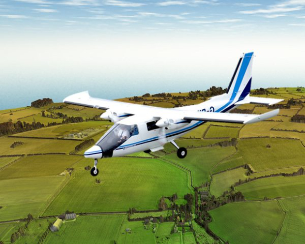
ScottishPower Renewables chooses APEM for aerial bird and mamm...

Thousands of high resolution aerial images of the onshore cable route for Ørsted (formerly DONG Energy) proposed Hornsea Project Three offshore wind farm development – the largest in the world – have been captured by APEM.

The images have been processed into detailed 3D maps showing the heights, terrain and surface features of the 55 km onshore route.
Electricity produced by up to 342 turbines will be transported over 120 km before reaching landfall on the north Norfolk coast in the vicinity of Weybourne. The cables will then follow a carefully chosen route to join up with the National Grid just south of Norwich, feeding in enough power to meet the average daily needs of well over two million UK homes.
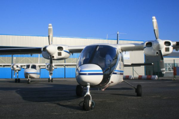
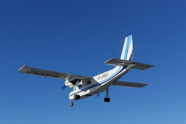
It is this route that has been surveyed by APEM’s specialist survey aircraft and state-of-the-art camera systems.
Freed from the need to arrange land access or move around by car, aerial surveys can complete the job more quickly, cheaply and safely than ground based surveys.
The entire cable route was surveyed in two days, with APEM’s remote sensing specialists then taking around six weeks to process the huge amounts of data captured.
Turning the high resolution 2D images into 3D digital models allows Ørsted’s engineers to analyse the route in detail on their computers. This enables them to identify places of interest such as sensitive ecological habitats, access points and topographical constraints like hills and steep inclines.
This in turn allows engineers to be sent directly to those sections of the routes that need closer inspection on the ground. The data will also be used by the company’s Consents and Technical teams for survey planning and cable route design.
Ground truthing showed APEM’s models to be accurate to within 20 cm, giving Ørsted confidence in the datasets.
David Campbell, principal remote sensing scientist at APEM, said:
There are multiple advantages to aerial surveys over ground based surveys and we’re definitely seeing a move towards them.
One of the big advantages is that the data is always available on the computer so it can be worked on by several people at once and can be revisited over and over again.
ScottishPower Renewables has appointed aerial survey specialists APEM to carry out ultra-high resolution bird and marine mammal surveys
+ Read more
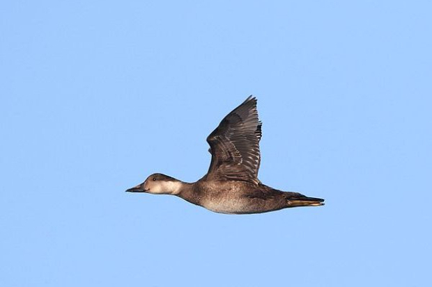
APEM has completed new high-resolution aerial surveys of birds and marine mammals in Carmarthen Bay special protection area on behalf of Natural Resources Wales
+ Read more
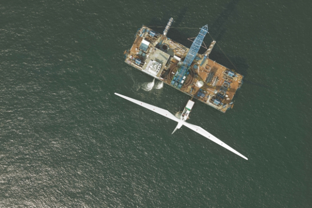
APEM will carry out an initial first year of post-construction aerial surveys at the world’s second largest offshore wind farm, off the coast of North Wales
+ Read more
APEM has been flying monthly aerial surveys of Vattenfall’s proposed Norfolk Boreas offshore wind farm area since August 2016
+ Read more